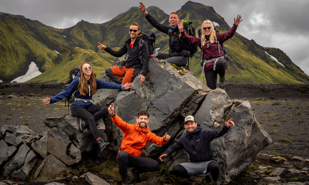
New Zealand’s Te Araroa is one of the most well-known thru-hikes in the world. The trail goes from the tip of the North Island in Cape Reinga to the tip of the South Island to Bluff. It is the ultimate kiwi experience. The trail shows you everything New Zealand has to offer: you walk alongside the coastline, through vast forests, alpine ridges, and even volcanos. A part of the trail is even completed by kayak. Get to know the friendly kiwi population and be surprised by the trail angels along the way.

The North Island
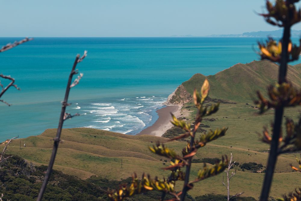
Most thru-hikers walk Te Araroa ‘southbound,’ meaning you start in Cape Reinga on the North Island. You hike 1600 kilometers down south until you reach Wellington. Here you take the ferry to Picton, which is located on the South Island. The North Island part, however, starts all the way up north, where you hike in remote areas and along white beaches. You cross challenging rivers where you need to take the tides into account. After a while, it will be time to head inland. In the region of Auckland, you will encounter more cities and villages, which you also will pass to reach the Waikato river. In the middle of the North Island, you cross vast forests and will pass Tongariro National Park. Here lies Mt. Tongariro and crossing this mountain inside the beautiful national park is one of the highlights of the trail. After this, the trail takes you to Whanganui, which is well-known for its rich indigenous Maori culture. Through the Tararua ranges, you reach Wellington. This is the capital and marks your last steps on the North Island, meaning you are halfway through your hike.
The South Island
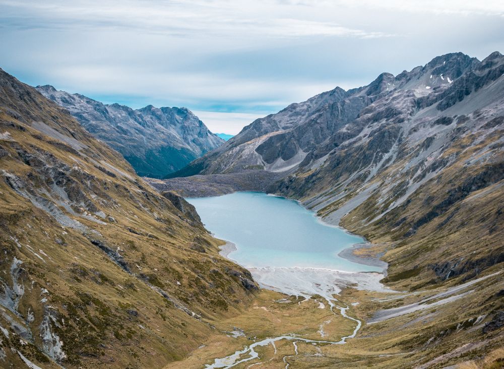
The trail continues on to the South Island. From Picton, you hike approx. 1300 kilometers to the most southern point: Bluff. You start in the Marlborough Sounds and hike in forests with amazing views over the bays. The next part of the trail, the Tasman area, is more challenging. You hike 100 kilometers over the Richmond Alpine Track. As the name suggests, this is an alpine area, with peaks above 1500 meters and steep ridges. After this, you cross the Waiau-pass at 1870 meters towards Canterbury. Hike across the impressive Southern Alps, until you reach Otoga after a couple of weeks. Enjoy the views of lake Wanaka and Wakatipu once you pass them and continue on Greenstone Track inside a vast forest. Now you’ll hike towards the ocean on Tihake Beach Track. The final part of the trail takes you towards Bluff, the end of Te Ararao, a hike to never forget!
More about the Te Araroa
Good to know
The best time to start the trail – when going southbound – is from the end of September to December. This means you can end the trail somewhere between December and the end of April. Before and after this period, some parts of the trail can be closed, and/or extreme weather conditions may be expected in the more alpine regions. Depending on your own speed and stamina, it will take between 100-160 days to complete the whole trail. It is, therefore, important to start easily in order to prevent injuries.
You do not need a permit to hike the Te Araroa. Nevertheless, you are able to give something back to the Te Araroa organization by making a donation. They are responsible for the trail conditions making it possible for us to hike the trail, so make sure to do this. Also, don’t forget to register when you are hiking the trail in order to give an insight into how many people are on the trail.
On the trail, your main sleeping place is your tent. On some parts of the trail, there are mountain huts where you can stay, especially on the South Island. When you are in villages or cities, it is of course always possible to book other types of accommodations.
Useful links: