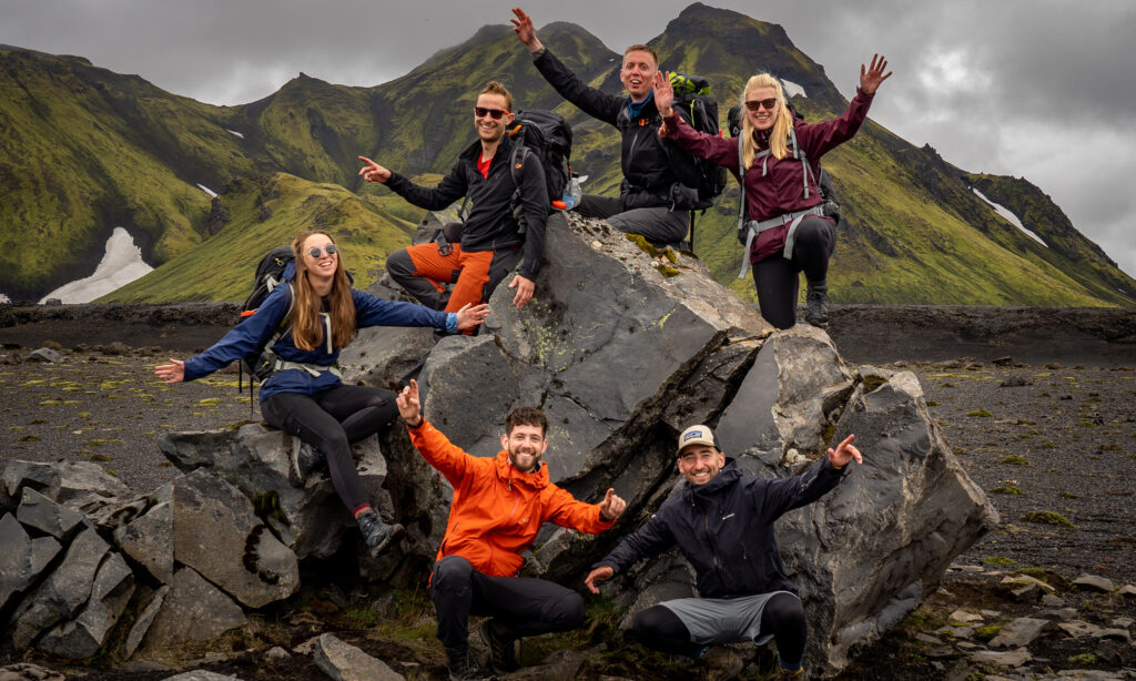
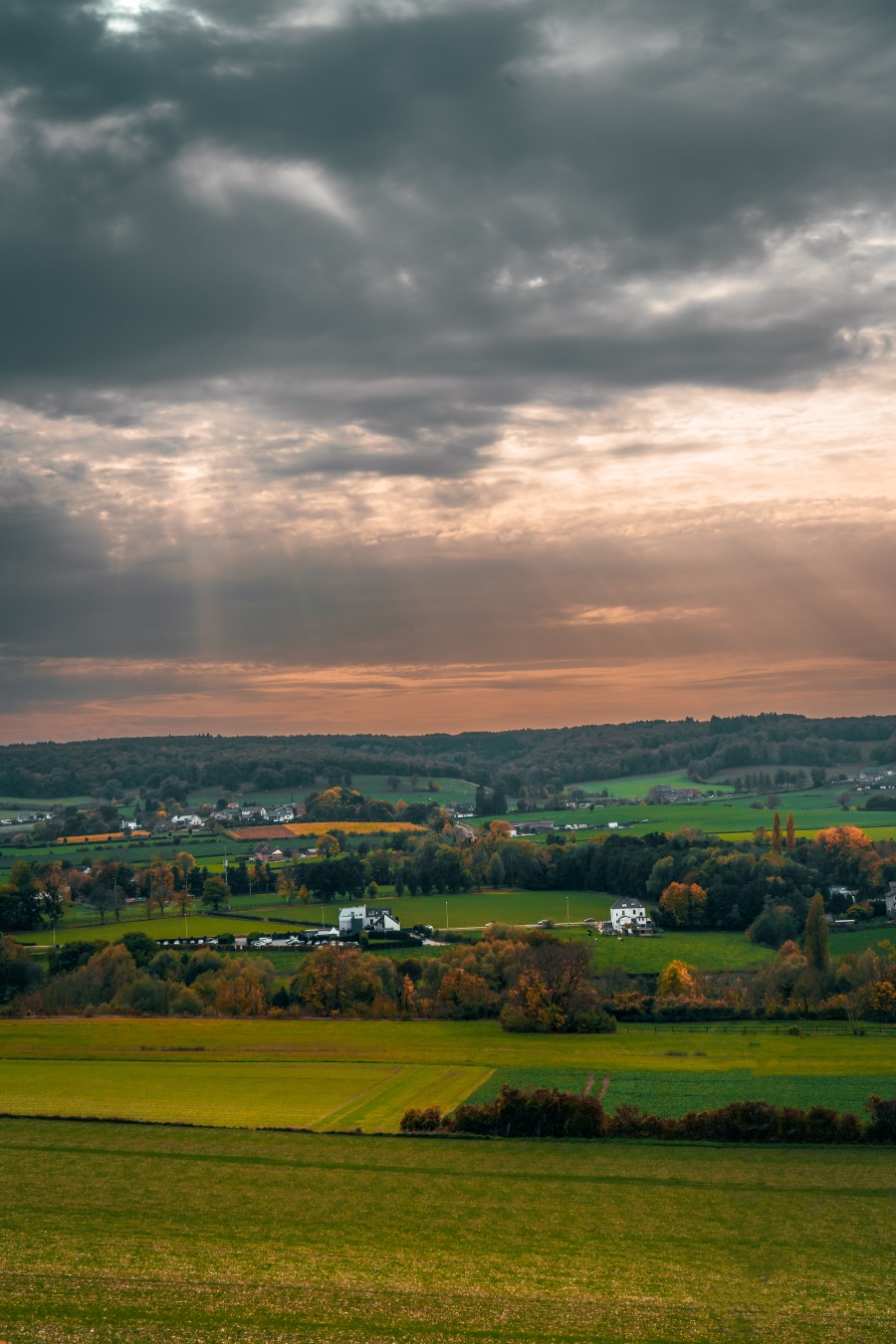
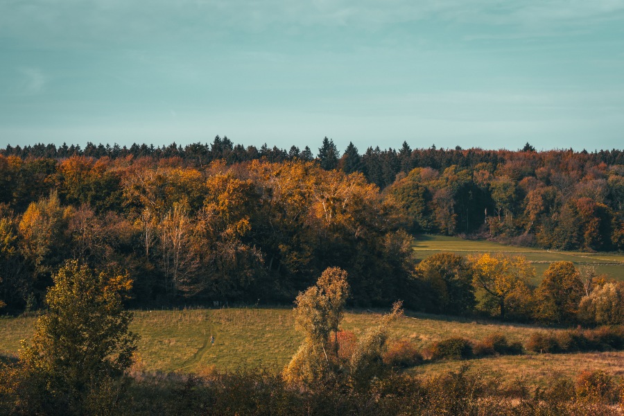
When you think of the Netherlands, you probably think of windmills, meadows, and tulip fields. Okay, of course we have more than that, but did you know that the Netherlands also has beautiful mountains? The Dutch Mountain Trail is a good way to discover these hidden gems and immerse yourself in the hilly landscape of South Limburg.
The Dutch Mountain Trail is a walking route that stretches over 101 kilometers through the hills of Limburg. It is a challenging tour that takes you past beautiful views, historical sites, and picturesque villages. Along the way, you climb the 7 summits of South Limburg.
Find an extensive trail description of the Dutch Mountain trail here.
Stages of the Dutch Mountain Trail
• Stage 1: Eygelshoven – Vaals station
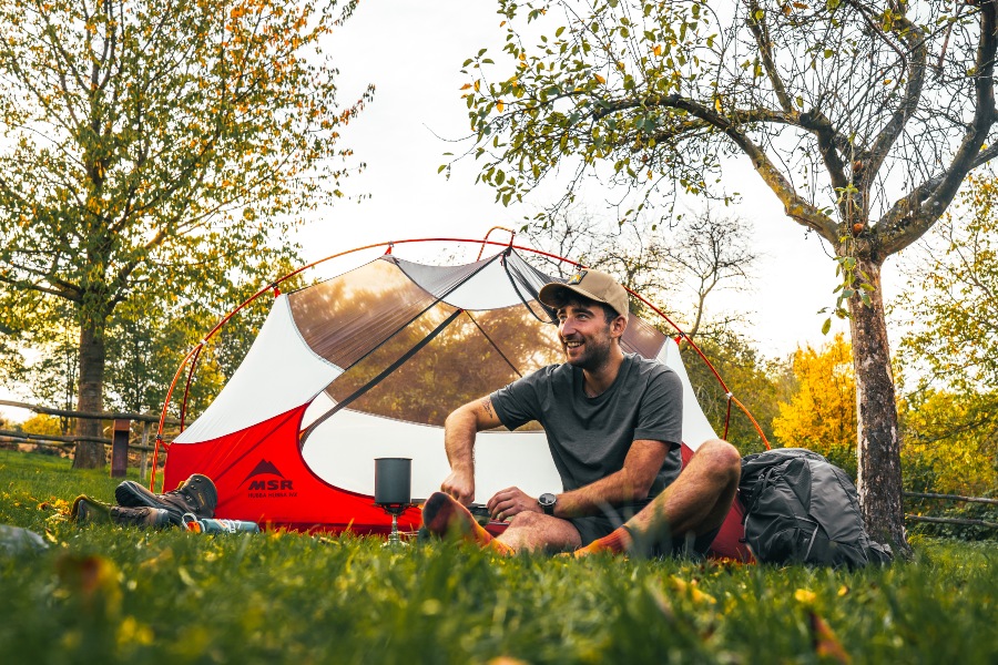
Tip accommodation: Camping de Gastmolen
• Stage 2: Vaals – Gulpen
Tip accommodation: Camping Gulpenberg
• Stage 3: Gulpen – Mheer
Tip accommodation: Camping De Grensheuvel
• Stage 4: Mheer – Maastricht Station
The route is divided into four stages that are approximately 25 kilometers long. Each stage has its own charm. Some parts of the route are quite steep and require a good level of fitness, while other parts are a bit easier. The route is marked with blue and white markings and there are plenty of opportunities to rest and enjoy the view. Of course, you don’t have to walk the route in one go. You can also walk the stages as a day hike because public transport is never far away.
Stage 1: Eygelshoven – Vaals station
The first stage starts at Eyselhoven station and takes you to the beautiful mountain village of Vaals. Along the way, you walk through the beautiful landscape of Limburg and pass a number of historical sights. You walk a bit through Germany and climb the Schneeberg and another mountain that marks the first of the 7 summits: the Wilhelminaberg.
Stage 2: Vaals – Gulpen
During the second stage, you continue from Vaals to Gulpen. This part of the route is a bit tougher and a good condition certainly comes in handy. You immediately climb the highest mountain in the Netherlands: the Vaalserberg. This is of course also the three-country point with Belgium and Germany. Along the way, you will pass several small villages and farms. You walk on narrow forest paths along vineyards with beautiful views. Have a nice day on the Dutch Mountain Trail.
Stage 3: Gulpen – Mheer
The third stage takes you through the beautiful Eyserbos. This is one of the most beautiful parts of the route and you will climb no less than three of the 7 summits today. The Gulperberg, the Hakkenberg and Kattenroth. The path takes you past ancient ruins and after 26 kilometers you arrive in Mheer, the endpoint of stage 3.
Stage 4: Mheer – Maastricht Station
During the last stage, you walk from Mheer to Station Maastricht. This is one of the tougher parts of the route with some steep climbs that are more difficult when it is muddy. Walking sticks are useful for stability to make climbing easier. The view from the higher parts is really worth it. Along the way, you have a beautiful view of the Maas and you pass the ENCI quarry. Just a little bit more and you will walk into Maastricht after 101 kilometers of beautiful trails on the Dutch Mountain Trail.
Good to know
The Dutch Mountain Trail is marked, however, not always very well. Therefore it is recommended to buy the trail booklet (wandelgidsje) and download a hiking app. For navigation, we often use the app Komoot and this one works very well for the Dutch Mountain Trail. You can find the trail here: Komoot Dutch Mountain Trail. On the hiking app Hiiker you are able to navigate with offline maps if you download the GPX of the trail beforehand.
An impression of the trail can be found on our Instagram account.
Happy trails!