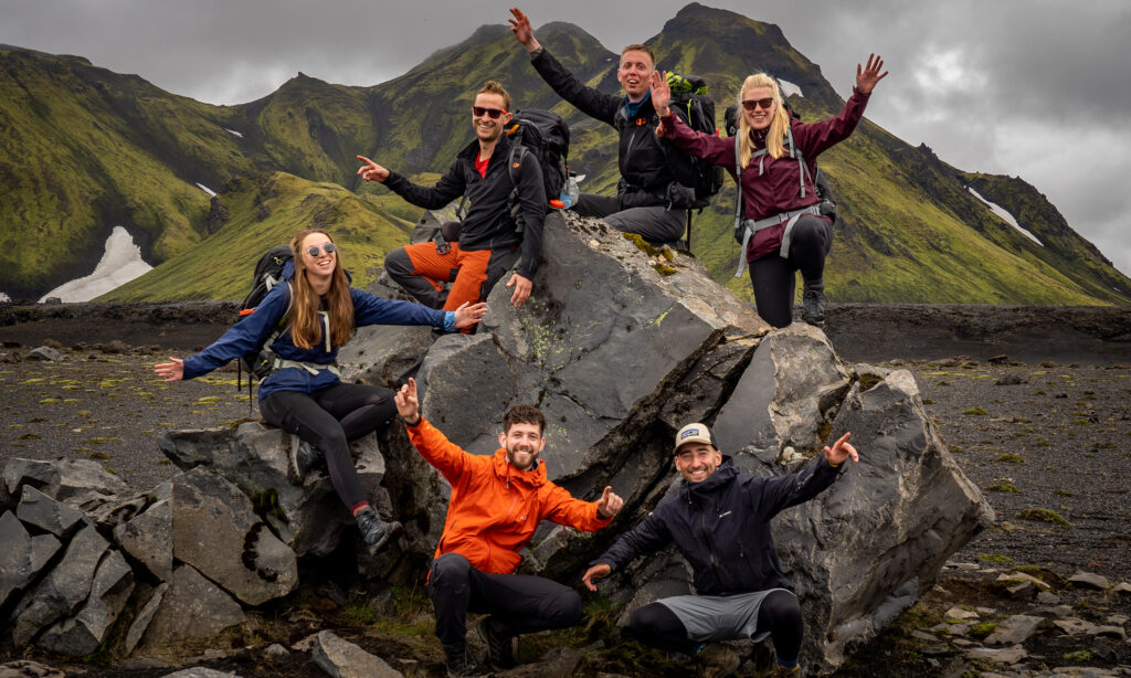
Training for a thru-hike
The Dutch Mountain Trail
- Pieter Boddaert
- 1 February 2022

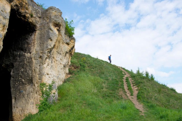
The Dutch Mountain Trail in South Limburg has become a very popular hike in a short time. So popular that the path has fanned out on muddy passages up to 4 meters wide. It can be a rough trip, designed to climb and descend as much as possible. And the creators of the trail succeeded. With more than 1,500 meters ascending and descending, it was perfect training for the thru-hike I want to run this summer.
On paper, the DMT is a four-day tour of exactly 100.5 km, which takes you along the 7 highest hills in Limburg – and that doesn’t even include the Vaalserberg. But hardly anyone will walk the tour by the book. If only because you will have to detour to a campsite or hotel. In my case, I couldn’t fit the 4 stages into my 3 available fall days. So, I skipped stage 1 and started in Vaals.
Day 1: Vaals – Gulpen (29 km)
After arriving by train and bus in a rainy and deserted Vaals, I walked via Germany to the Vaalserberg. At 322 meters, it is the highest point in the Netherlands. After this, the trail started to get rough and very muddy. I walked over the ridge along the border with Belgium until I turned north, towards Gulpen. The clouds were gray, but the hills below still looked beautiful. I imagined myself in the Alps when, after hours of walking, I passed the old church and cemetery of Wahlwiller and arrived at a fast-flowing stream. Then I started a zigzagged climb along vineyards to the Eyserbos, the third of the Seven Summits at 197 meters.
One thing I learned during this trail: it gets dark very early in the Dutch autumn! Descending to Gulpen and up again steeply to the top of the Gulperberg, it was already dark around five o’clock. That gave the last part of the trip a magical atmosphere, especially on top of the Gulperberg (157 m), the fourth summit, where a glowingly lit statue of the Virgin Mary awaited me.
It was an extra walk to the campsite on top of the mountain before I pitched my tent in the dark in a secluded spot between a ping pong table and the climbing frame of the campsite playground.
Day 2: Gulpen – Noorbeek (26 km)
My second day on the Dutch Mountain Trail started with slightly better weather. My single-wall Zpacks duplex tent was dry. No condensation on the inside – probably thanks to the wind on the Gulpenerberg. After my homemade hiker’s breakfast, dawn had disappeared and I descended south. Now I followed a beautiful part of the trail. In retrospect, this is the best of the whole DMT, with lots of variety in trails and scenery. Open fields, steep paths, forests, rolling hills, old farmhouses, countless Jesus statues, autumn leaves, and yes, lots and lots of slippery mud.
I walked a bit with two ladies from Brabant, who were child-free for a long weekend and walked the entire DMT. According to them, it was the right choice to skip stage 1: they thought that was the least beautiful part. The next summit, number 5, was the Hakkenberg, on the border with Belgium. It was so flat there that it was impossible to imagine standing at 252 meters.
After that, the path meandered across the border several times – I occasionally forgot which country I was in. Continue through a beautiful forest area, with a view of small villages. Many typical half-timbered mud houses, some in crumbling condition, revealed wooden wickerwork as a skeleton.
In St. Martens-Voeren I found the first café directly on the DMT: Bei Katrien. But what bad luck – the last piece of Limburgse Vlaai was already on someone else’s plate. I paid for a double sandwich and hot chocolate before I walked to the last summit of today: the Kattenroth (sixth summit, 209 meters). For a Randstad resident like me, this mountaintop looked more like a solid dike. Descending to the north I quickly came to the village of Noorbeek, just off the route. At the semi-deserted campsite, I pitched my tent on a beautiful lawn with a view over the valley.


Day 3: Noorbeek – Maastricht (30 km)
My last day on the DMT was cold and rainy. But I warmed up quickly, as I made a good pace on the fairly flat route along the Dutch-Belgian border. Because the ferry at Eijsden is closed after October, I had to make a detour through Belgium to cross the Maas at Lixhe. I cut off quite a bit at Mesch, a nice village just before the Belgian border. So, I shortened the detour by 3 km. But I still had to walk an extra hour via a moderate route towards the weir at Lixhe.
After Lixhe, I saw the non-sailing ferry and an attractive café – on the other side of the Maas in Eijsden. The path became a lot nicer now. The thick fog created a cinematic view of the river, with a view of the seventh and last peak of the trail: D’n Observant (157 meters). At the locks of Lanaye, the chalk cliffs on the west side of the Meuse loomed up from the fog: high, rugged, and impressive. And was it my imagination, fueled by two days in a Catholic village to walk, that I saw Mother Mary etched in the limestone rock, with the baby Jesus in her arms?
D’n Observant was a steep and challenging hill to climb. The designers of the DMT must have had a lot of fun trying to find the steepest, slipperiest and dirtiest path through the woods. But fun it was! Once at the top, I only had to descend to Maastricht for an hour and a half. But first: soup and sandwiches in the Chalet d’n Observant, a 30-minute descent into the former marl quarry. Six hours after my breakfast, the hiker’s hunger slumped, and I ate for two. The quarry is also the end point of the 500-kilometer-long Pieterpad. Since I’ve only walked a third of that trail, I’m going to go there again. After one last look at the quarry, I turned to Maastricht, where a warm and comfortable train was waiting for me back home.
7 summits, 7 tips!
I found the DMT perfect as a solid training, incomparable to any other path in the Netherlands. And that in a beautiful environment, which is probably even more beautiful in the summer.
A few tips if you want to walk the DMT:
1. The trail is not signposted. Here and there a blue and white sticker seems to indicate the route, but not enough to rely on. I used GPS, in combination with the route booklet.
2. Because of the mud, I say that sturdy, waterproof, preferably high mountain boots are a must.
3. Trekking poles are recommended, especially on the steep, slippery downhill sections.
4. There are plenty of campsites, hotels, and cafes in South Limburg. But… hardly directly on the trail. Take detours into account.
5. Therefore, take enough water and food with you for the whole day.
6. The ferry at Eijsden has a reputation for being unreliable; it sometimes unexpectedly does not sail and is certainly not out of season.
7. Almost all campsites are closed from October to March (Gulpen and Noorbeek were the exceptions)