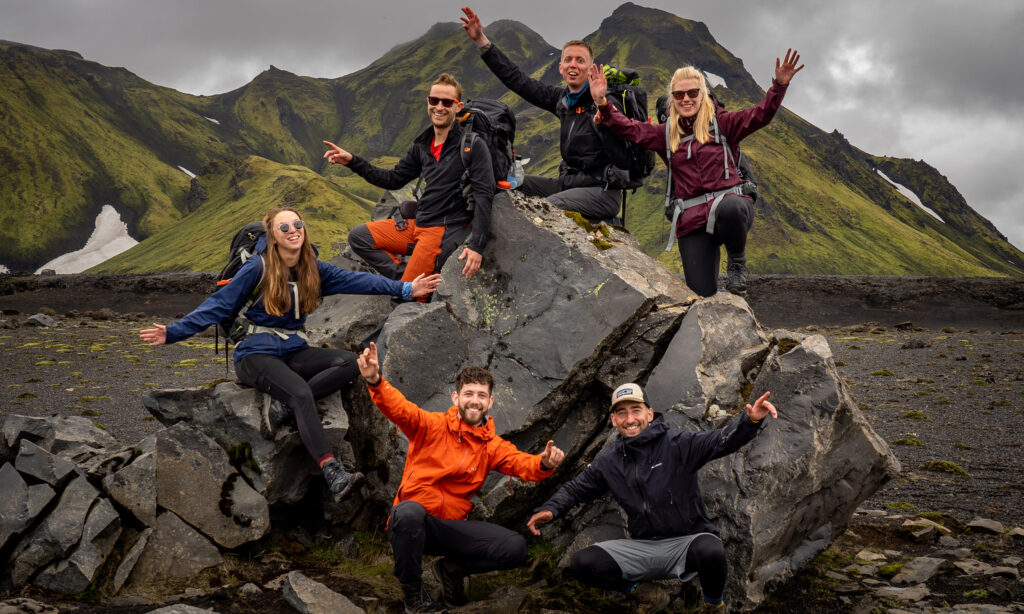
The Sentiero Italia or the Grand Italian Trail is a long-distance walk in Italy. Thru-hike 7,000 kilometers in more than 354 stages through the 20 regions of Italy. Cross the Alps and walk straight through the Dolomites towards the rugged Valle D’Aosta. Continue on the somewhat lower Alpine mountain ranges towards the tip of the boot. Follow the path, or the sentiero, in Sicily and pass the highest (3,323 meters) and one of the most active volcanoes in Europe; Mount Etna. From here, you hike along the coast towards Palermo and catch the boat to continue to Sardinia, where you walk to the end of this trail. Although it is difficult to choose, we’ve highlighted some of the most beautiful regions here.

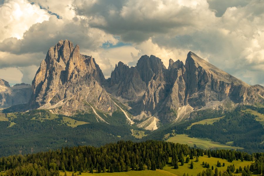
Trentino – South Tyrol
The Grand Italian Trail runs for over 300 kilometers through Italy’s most famous mountain area; the Dolomites. You begin in Trentino, located in South Tyrol. These mountains were the frontline of the First World War and you occasionally come across the trails they built at the time. These are often via ferratas or iron roads. Climb through the beautiful limestone rocks with the help of a via ferrata set and look out at the famous Drei Zinnen.
Aosta Valley
Walk in 13 sections and 230 kilometers through the mighty Valle d’Aosta. The Alpine giants located here form the natural border with France and Switzerland. It is therefore not surprising that you climb almost 20,000 altimeters in this section. An absolute highlight is the Gran Paradiso National Park. Walk along the Gran Paradiso mountain of the same name of more than 4000 meters and enjoy the delicious food and coffee in the refugios (mountain huts), where you sleep.
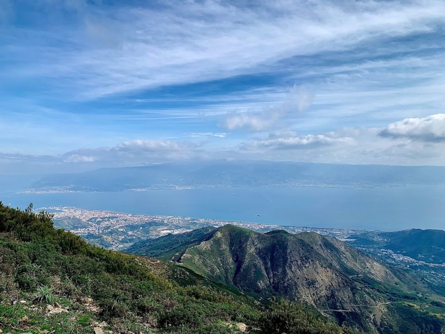
Sicily
If you are coming from the mainland, take the ferry from Reggio de Calabria to Messina. This bustling port city is the starting point of the trail that runs through Sicily. From here, you walk over the hills to Mount Etna, the highest active volcano in Europe. The volcano erupts regularly and blows large clouds of smoke into the air. You can climb Etna itself until a bit below the crater rim, but you can also book an excursion and explore the volcano under the guidance of mountain guides. After this ascent, you walk towards Palermo and finally take the next ferry to Sardinia.
Abruzzo
A lesser-known part of the sentiero is the Abruzzo. This is a somewhat lower mountain range in central Italy to the east of Rome. The highest peak you will climb is 2857 meters but is certainly not inferior to the higher peaks in the Alps. Lovely valleys, sleepy villages, and the occasional shepherd greet you on your way. The journey of 321 kilometers and 16 stages through the Abruzzo has everything in store for you and feels pure because they are still to be discovered by mass tourism.
Don’t forget
For thru-hiking we have put together a large packing list. In addition to that list, there are a few items that you should remember for the GAT:
- Sheet bag: for overnight stays in mountain huts
- Poles: to save your knees during the descents
- Via ferrata kit incl. helmet: for secure passages
- Sunscreen, glasses and sunscreen: to protect yourself from the sun
Best time to visit
If you want to walk the entire trail or a large part in one go, it is best to do this in the summer or autumn. The high alpine trails are only accessible in these seasons. Watch for possible snowfields in early summer and early snowfall in late fall. You can walk the easier parts of the trail all year round. Make sure that the cabins are open. Most are only open on weekends in low season or even closed completely. If you are walking in the middle of summer, don’t forget to take enough water with you. It can get very hot!
Useful Links
More info: Sentiero Italia CAI
&: VA Sentiero