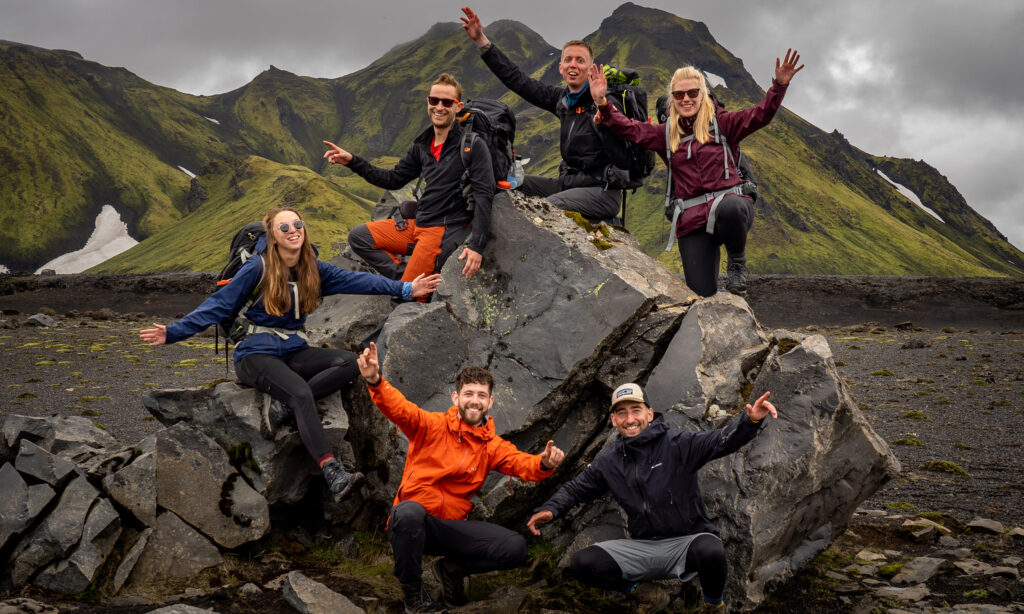

Hike After two years of intensive planning, a group of passionate hikers established the North-South Trail (NST) in 2020. The NST connects and merges existing hiking trails into one unique long-distance trail through Germany. It is 3528 kilometers and weaves from the most northern republic on Sylt towards the most southern one, the Haldenwanger Eck. The NST is the longest trail in Germany and a real thru-hike.
The special thing about this trail is that it was created by a group of people who happen to be interested in hiking, not a club or a non-profit organization. Initially, there were no official markings on the trail, because it connects already existing trails. However, due to the large popularity, enthusiasm, and great group of volunteers, parts of the trail are being marked with official markings from 2022 onwards.

Thru-hiking – a long way for Germany
Germany is one of the countries with the highest population density in Europe and therefore real wilderness does not really exist. This country is not meant for you if you are looking for wilderness, loneliness, and desolation. However, Germany has way more to offer; amazing nature, diverse hiking trails, and history that come to life around every corner; old castles, medieval cities, and trails that have been used by people for centuries. Therefore, this trail is the best of both worlds; it has nature and good infrastructure.
The varying German nature in combination with the culture and history make the NST a unique trail to hike. One trail with many highlights: the North German coastline, the heather, the hills, the Rhine country, the Paltser Forests, the Black Forrest, the Hegau, the Boden Lake, and the Alps. The NST is not one of the most remote or wildest trails, but is sure one of the most diverse!

North Section: the north and eastern sea
The start of the NST is on the small island of Sylt in the North Sea, close to the Danish border where the Eastern Sea starts. The first region is Sleeswijk-Holstein, which surprises you with its many lakes and river landscapes. At the end of this 600-kilometer section, you cross Hamburg, the second largest city in Germany.
Middle Section: the heather and low mountain ranges
The middle part of the trail consists of the regions Lower Saxony and North Rhine-Westphalia and some small sections in Hessen. Next to Hamburg, you can discover the diverse and special landscapes of the Lüneburger Heide. In the third region, Lower Saxony, you will cross Steinhuder Lake. This lake has a surface of 29.1 square kilometers and is the largest lake in North Rhine-Westphalia. After this, you continue to hike towards Porta Westfalica. Here the lower mountain ranges of Germany begin. After the Weserbergland and the Rothaar mountains, you reach the Siegtal and have completed this 1161-kilometer part of the trail.
West Section: the romantic Rhine and enchanting Saar
The western part of the hike takes you through the regions of Rhineland-Palatinate and Saarland. The NST follows the Rhine river from Bonn to Rüdesheim. Additionally, you cross the Siebengebirge, the Lower-Middle-Rhine Valley, and the UNESCO Upper-Middle-Rhine Valley. Especially the Upper Middle Rhine will impress you with its many castle and ruins from the Middle Ages. Other than that, the Middle Rhine is well-known for German romance. From Bingen, through the Soonwals in the Hunsrück, towards the legendary Saarland. The NST crosses the St. Wendler land before you reach one of the highlights of the trail; the Paltser Forrest. The Paltser Wine Trail leads you through the largest forest area of Germany and many important wine regions. In the “Golden City,” Pforzheim, you have reached the next, and final, stage of the trail.
South Section: Through the Black Forest towards the Alps
Lastly, cross the regions of Baden-Württemberg and Beieren. The West Way starts in Pforzheim and is one of the oldest hiking routes in Germany. Here, you walk into the Black Forest from north to south. The Black Forest is the highest and largest low mountain range in Germany and offers more than 100 mountain tops above 1000 meters. You go through next part of the trail, the gorge trail, to see the amazing structures. For this part of the trail, you need good shoes! The NST continues towards Allgauon, the northern side of Boden Lake, before it enters the higher alps. After 3582 kilometers in total, you reach milestone 147 in the Haldenwanger Eck.

Good to know
Wild camping is not allowed in Germany. Camping in or near shelters is tolerated in most places with the exception of the most northern province Schleswig-Holstein. Here, camping outside national parks/nature reserves is allowed. In Germany, it is not needed to have a separate permit or license in order to cross national parks or nature reserves.
The North South Trail doesn’t have markings yet through the whole way. You will follow local trail markings depending on where you are. From 2022 onwards, the trail starts with its own trail markings, however, the local ones will be more prominent. We recommend hiking with a GPS, even though Germany has a good network of marked hiking trails.
Useful links:
Trail: North South Trail
Youtube: The trail